Member Of


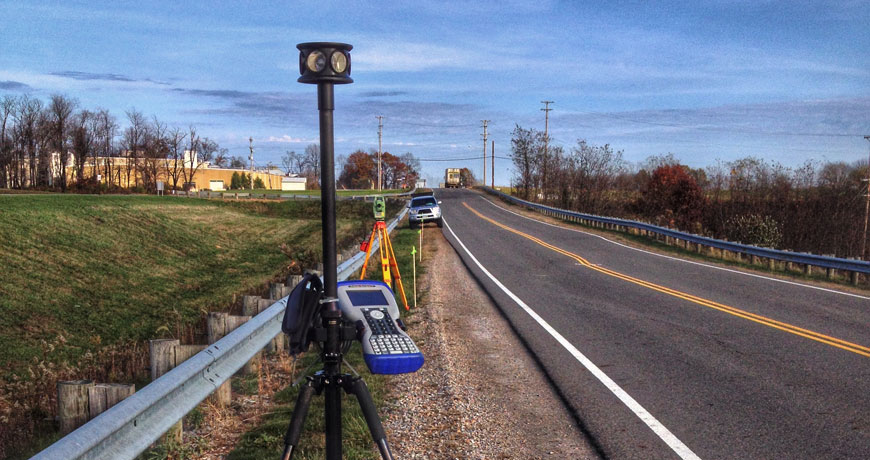
Topcon GRS-1 Network Rover using both GPS and GNSS.
RTK GNSS Receiver and Field Controller featuring 226 Channels with Universal Tracking
Topcon Positioning System’s GRS-1 (Geodetic Rover System) is an all-in-one handheld GNSS receiver and field controller featuring Topcon's exclusive Vanguard chip technology, compass and optional built-in camera. Other features include internal L1 antenna for GIS and navigation uses, internal modem and optional external antenna for GNSS network compatibility, or instantly change to dual constellation for centimeter accuracy RTK. Even use your GRS-1 as a static post-processed receiver solution.
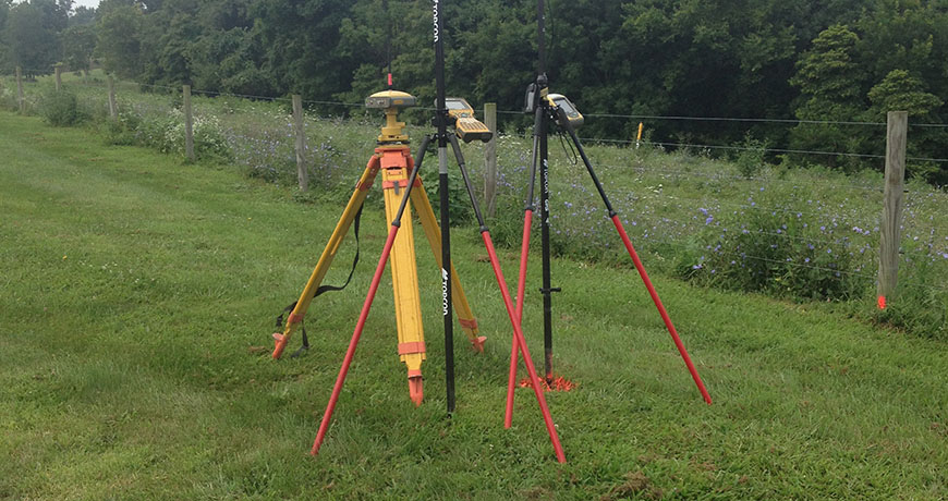
Topcon Hiper Lite Plus Base/Rover and Network Rover using both GPS and GNSS.
Shuting out cables speeds up our productivity utilizing the Topcon HiPer® Lite+. This Topcon allows us to utilize the entire GLONASS satellite network, providing us with stronger solutions that can keep us working when others can't. Exclusive Advanced Multipath Reduction (AMR) and Co-op Tracking™ help us acquire sat-lock faster and maintain it longer in difficult working conditions. By operating 100% cable-free, set-up is faster and our work is completed sooner.
As the first global service provider for true Global Navigation Satellite System (GNSS) receivers, Topcon offers GPS+ … GPS plus GLONASS. More satellites means unparalleled accuracy, 24/7.
Leica Robotic Total Station
The robotic total station can be operated from the field controller at the prism pole, at the point you need positioning. This product is designed specifically for ease of use within the surveying industry. With the iCONstruct software, you can use it for a wide range of measuring and positioning tasks on site.
Topcon Reflectorless Total Station
Topcon manufacturers a premier line of survey instruments. We utilize long prismless measurements - up to 1200 meters - with wireless communication. Bluetooth™ technology enables wireless communications with field computers, eliminating field production delays caused by broken or forgotten cables.
Reflectorless measurement requires a finely focused beam for pinpoint accuracy. Measurement using a prism needs a wider pattern to prevent off-center measuring degradation. Topcon’s dual-optical system gives you both for maximum measuring accuracy all the time, even in adverse atmospheric conditions such as heat shimmer. "Pulse" technology enables the laser to discern between near objects and the distant target, providing accurate measurement in proximity to building corners or through chain link fences. For maximum safety in populated and high-traffic areas, The GPT-3000LW uses a Class 1 spot beam laser.
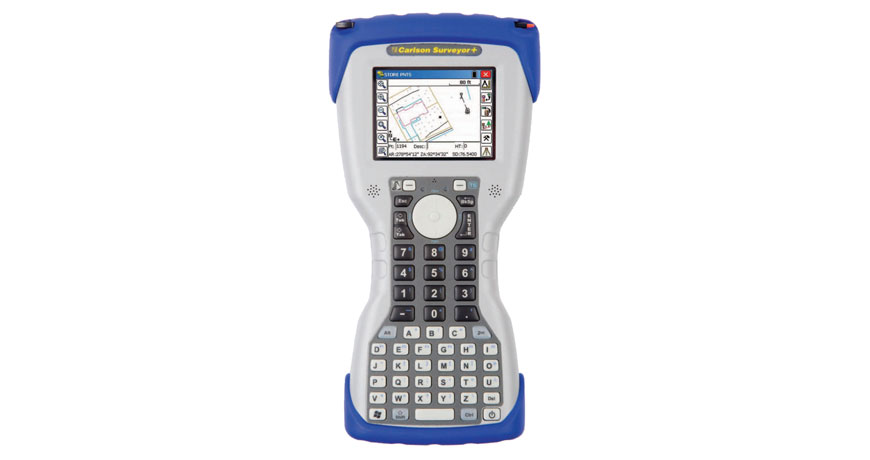
Carlson Surveyor Plus Data Collector w/SurvCE
Carlson Survey provides a full tool kit for surveyors with everything from network least squares to surface modeling. We utilize the ability to work seamlessly between the office and the field and can establish company-wide design styles to ease and speed of our work.
Carlson Survey is the complete Field To Finish survey platform.
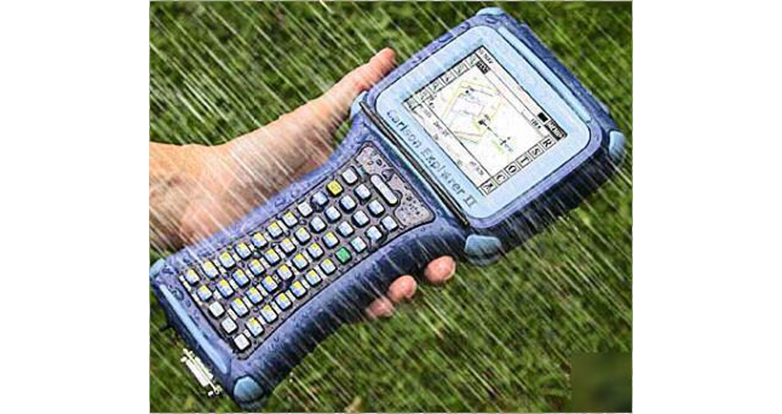
Carlson Explorer Data Collector w/SurvCE
Carlson SurvCE is a complete data collection system for Real Time (RTK) GPS and Total Stations with in-field coordinate geometry. It supports the widest range of popular and new release RTK GPS and conventional/ robotic total stations.
SurvCE can read the GIS feature/attribute structure from a client’s Esri GIS geodatabase, collect additional survey-grade data to that schema, and write it back as ArcGIS compatible data in a single seamless workflow.
Carlson Survey Office Software
Utilizing Carlson’s diverse office software, we produce accurate 2D and 3D drawings and land-based design for surveying, civil engineering, construction, mining and accident investigation.
This software platform benefits from a 30-year history of customer input and intense industry usage.