
We offer residential & commercial Land Surveying & Mapping Services
Specializing in Mortgage Location, Boundary Surveys, ALTA Surveys,
FEMA Flood Elevation Certifications, Topographic Surveys & Construction Staking
Now offering Aerial Data Services
Including Topography, Orthomosaics, Quantities, Cut/Fill Site Monitoring, Aerial Imagery, Aerial Surveying & DEM Files. All tied into state plane coordinates with ground control points. F.A.A. Certified Remote Pilot (SUAS)
Our Services
McPeek Land Surveying (MLS) is a surveying and mapping business that specializes in providing professional surveying services for locations within the state of Ohio. From the smallest jobs to the largest, I pride myself in using top of the line equipment (Conventional Total Stations, Robotics, RTK GPS) and software, that in return help provide my clients with quality work, in a timely manner, at a very competitive rate. MLS specializes in Mortgage Location, Boundary Surveys, ALTA Surveys, FEMA Flood Elevation Certificates, Topographic Surveys and Construction Staking
McPeek Land Surveying is committed to providing Southeastern Ohio with exceptional service at an affordable price. Our goal is to establish long lasting relationships with our customers needing surveying services.
Services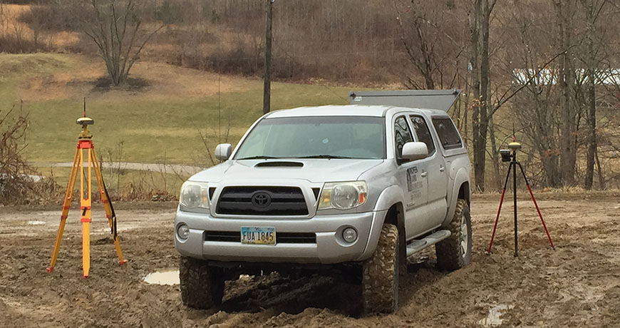
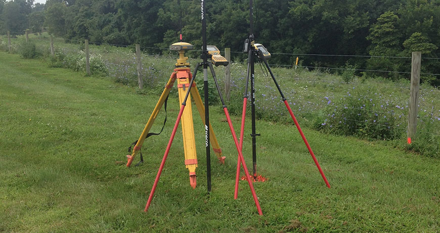
Our Equipment
Combining a Topcon GRS-1 Network Rover using both GPS and GNSS, Topcon Hiper Lite Plus Base/Rover + Network Rover using both GPS and GNSS and much more specialized equipment we have them most current equipment to meet your needs.
EquipmentService Area
Our service area includes: Muskingum County, Guernsey County, Noble County, Morgan County, Perry County, Licking County, Coshocton County, Delaware County, Morrow County, Ashland County, Wayne County, Stark County, Holmes County, Tuscarwaras County, Jefferson County, Carroll County, Richland County, Adams County, Hocking County, Washington County, Monroe County, Baltimore County, Fanklin County, Fairfield County, Knox County, Pickaway County and Harrison County.
Service Area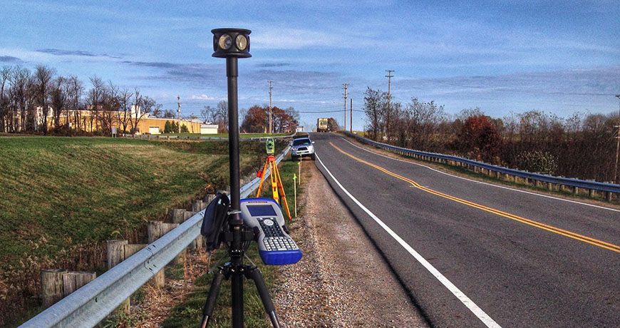
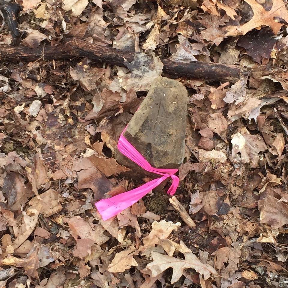
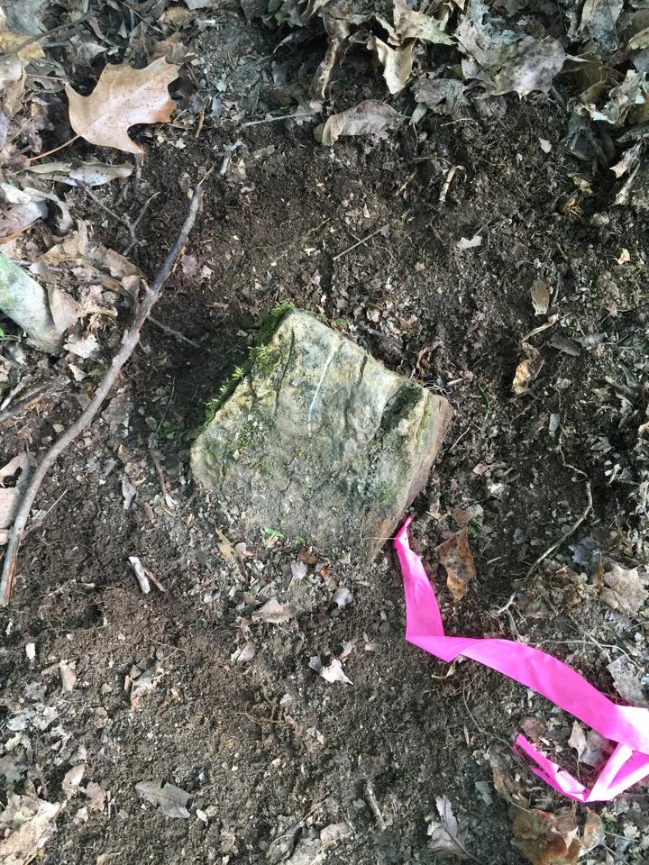
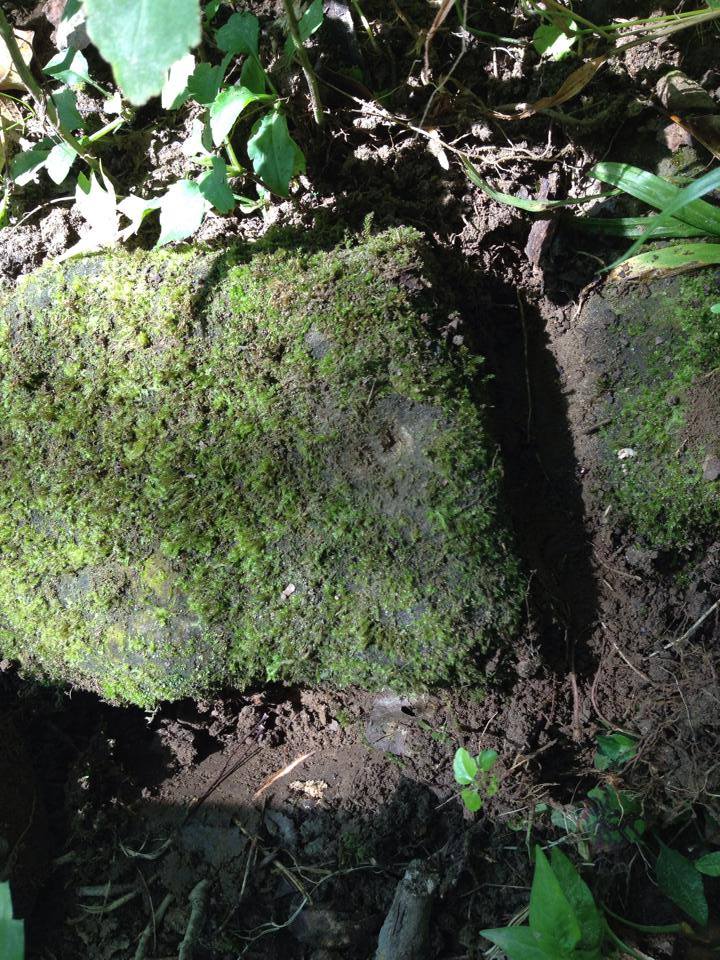
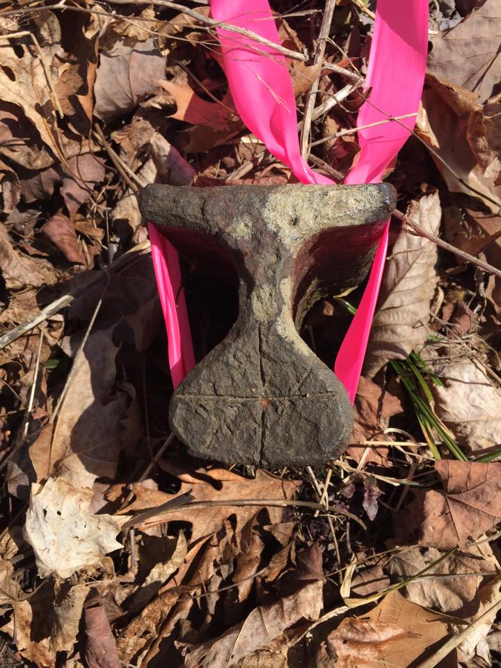
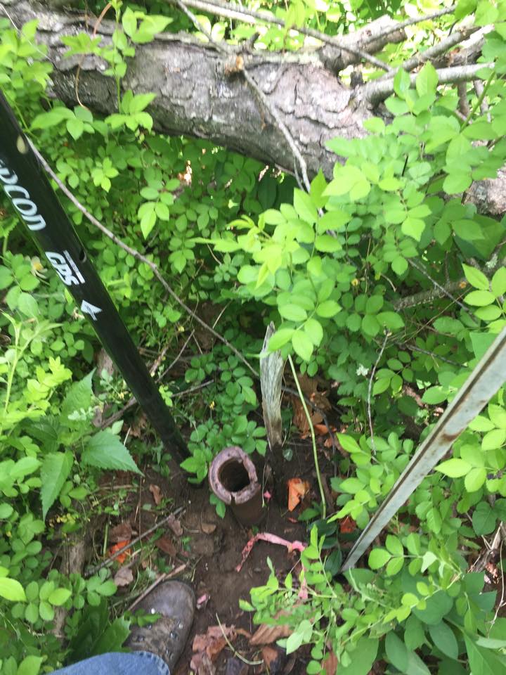
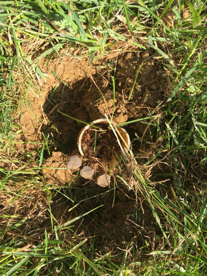
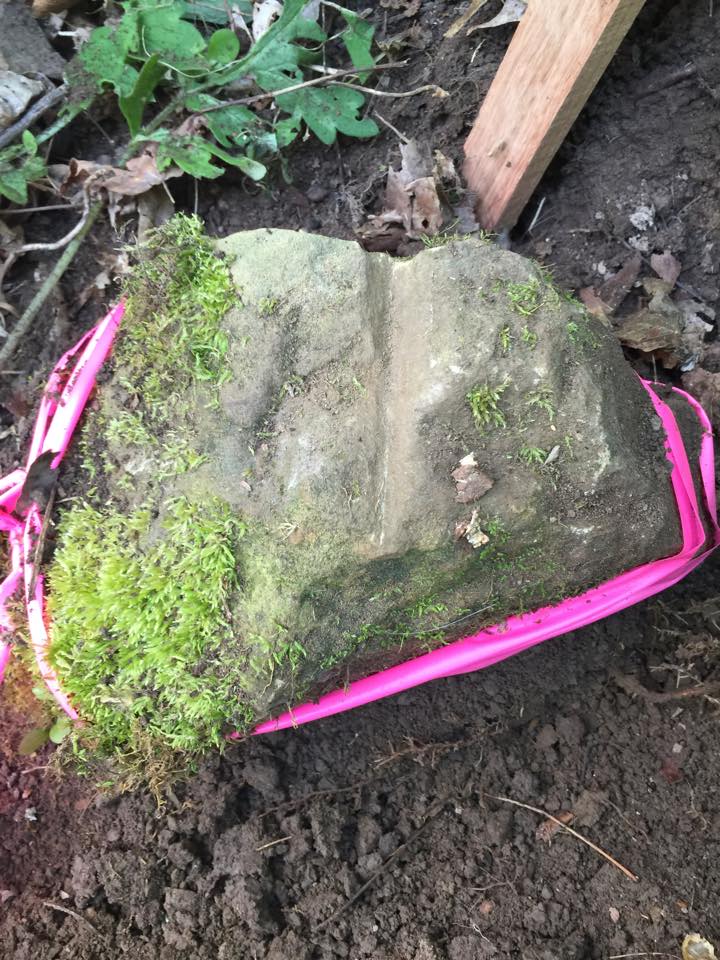
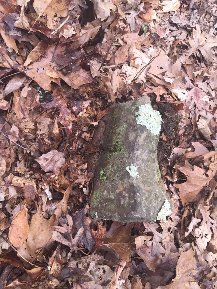
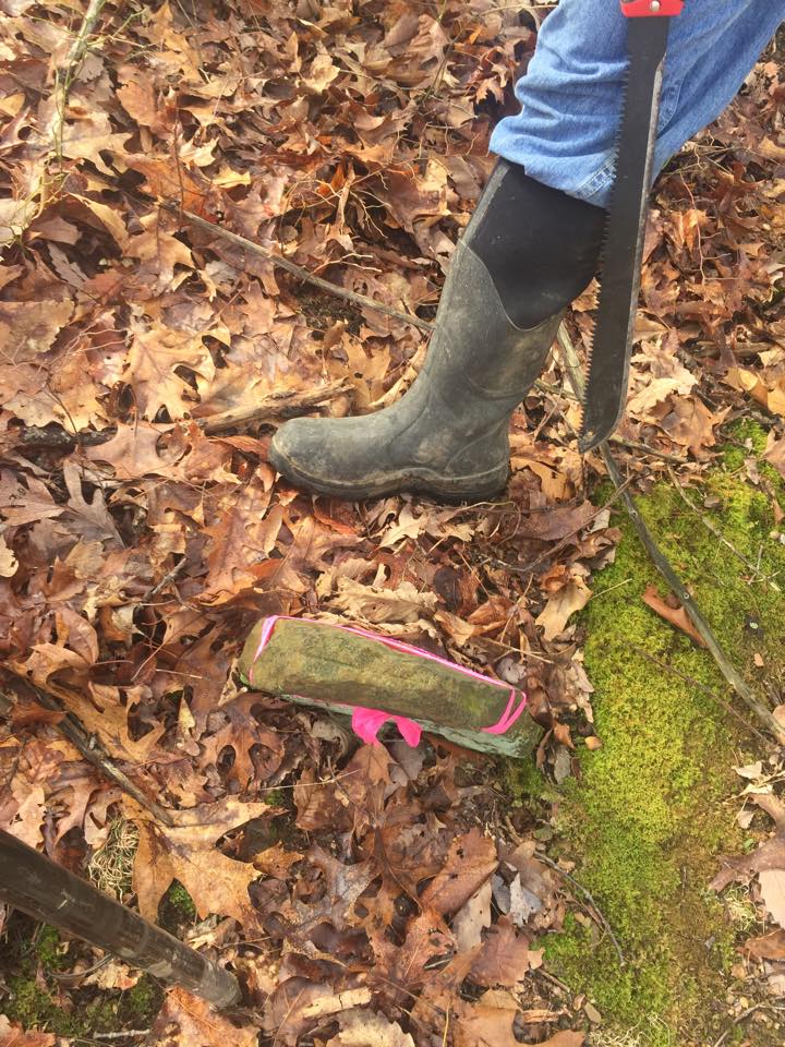
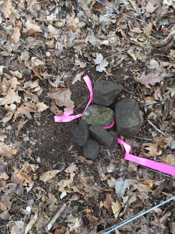
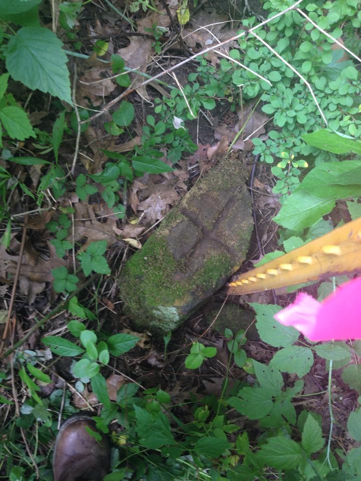
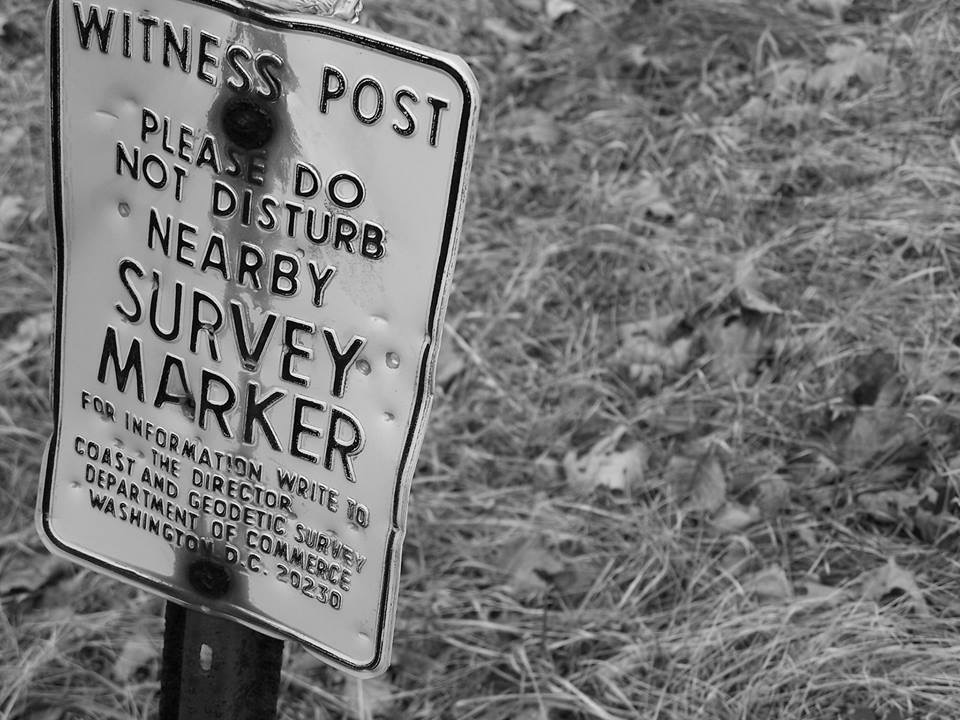
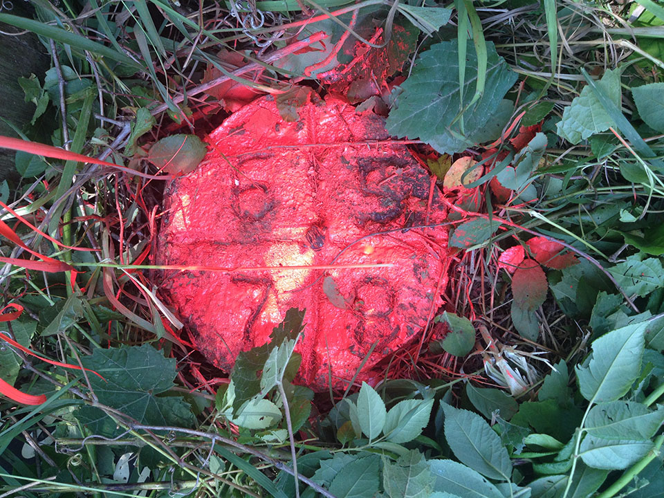
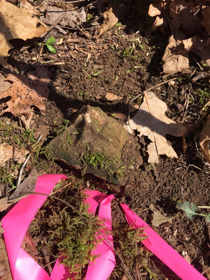
Historical Boundary Markers


Are you in need of mapping and surveying subcontractors?
McPeek Land Survey & Mapping can assist with existing mapping and surveying contracts. Contact us today for surveying and mapping subcontracting.
Contact UsMcPeek Land Surveying, LLC
Specializing in Mortgage Location, Boundary Surveys, ALTA Surveys,
FEMA Flood Elevation Certifications, Topographic Surveys & Construction Staking
Complete our online order form to initiate your service appointment
Contact us via phone, email or complete our online contact form.
Review our history and learn about what has helped us become one of the leading surveying and mapping companies in Ohio
Don't just listen to what we say, read about what our customers say about us.